GIS and Remote Sensing | Location Intelligence
Token-Me Platform

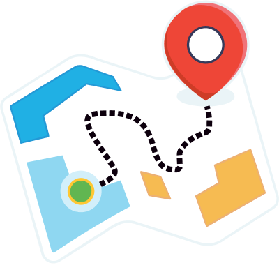
GIS (Geographic Information System) and Remote Sensing as a service offer invaluable tools for analyzing and managing spatial data.
We enable organizations to access, process, and interpret geographic information efficiently. We help organizations and businesses create detailed maps, perform spatial analysis, and make informed decisions based on geospatial data.
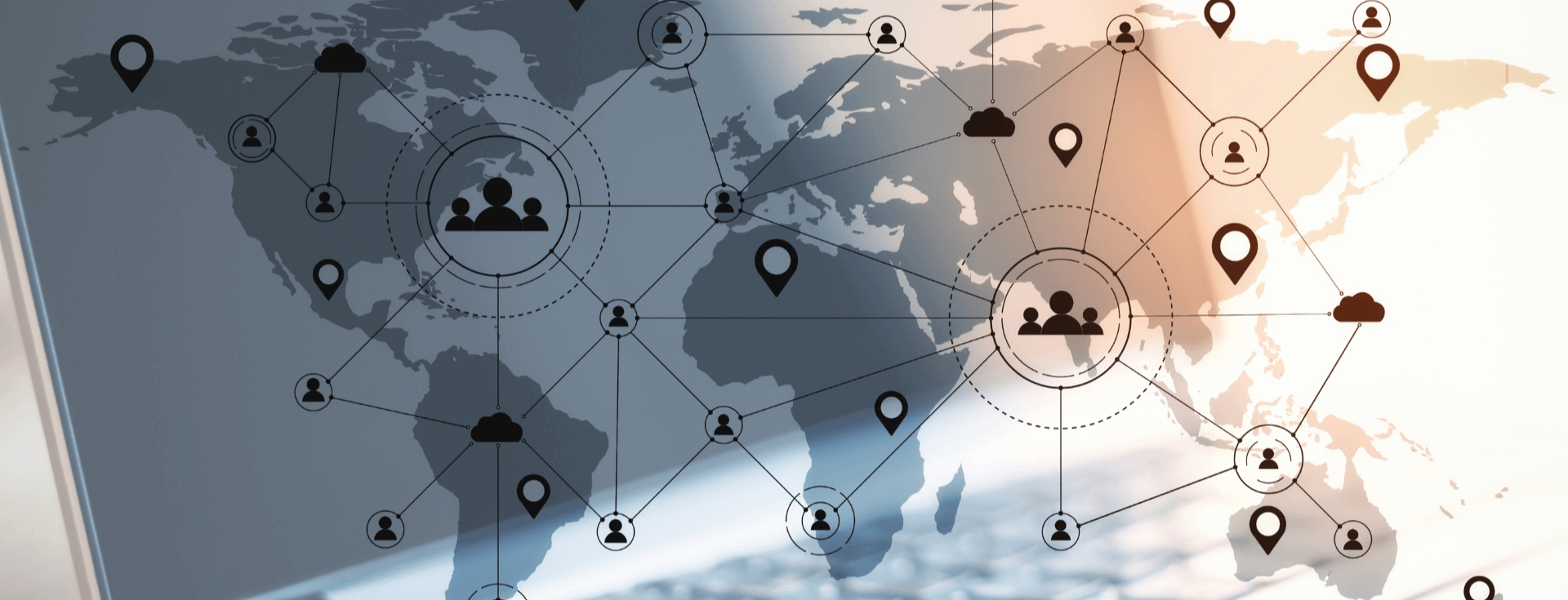
Remote sensing adds another dimension by providing satellite and aerial imagery, which aids in monitoring environmental changes, urban planning, agriculture, and disaster management.
We help industries, organizations and individuals in the field of urban planning, agriculture, environmental conservation, and disaster response, enhancing decision-making and resource allocation in today’s data-driven world.
We've worked with clients operating in diverse industries and sectors. We succeed by combining a passion for digital and a passion for people.